Images
Select an image to view a larger version(photographed on October 21, 2007 by Tim Fox)
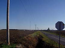
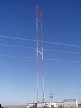
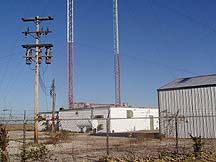
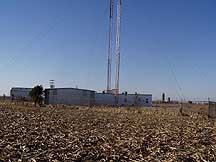
looking south from about 0.5 mi. away
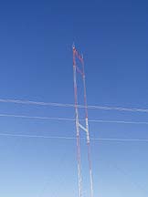
looking south from about 0.5 mi. away (zoomed)
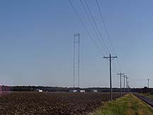
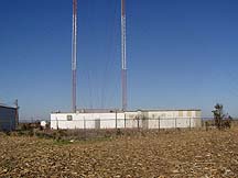
view from the west, about 300 ft. away
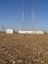
view from the west, across road, about 500 ft. away
view from the west, about 300 ft. away
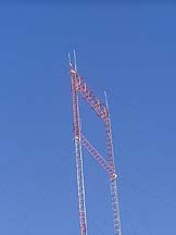
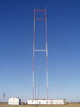
view from the west, about 300 ft. away (zoomed)
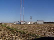
view from the gate
view from the west
view from the southwest
view from the southwest at guy wire anchor
view from the southwest at guy wire anchor (zoomed)
view from the southeast
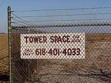
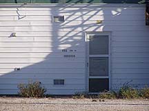
near front gate