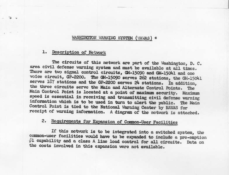
 Source: National Archives at College Park, Record Group 371, Series "Budget, Planning, and Operations Files of the Defense Communications System" (Entry 3), Box 14, Folder "IV, D, 1 User Svc. & Networks"
This description is from page B-12 of the Army Dedicated Network Study, conducted in 1965-1966 by the Defense Communications Agency (predecessor to the Defense Information Systems Agency).
The WAWAS system diagram and facilities map indicate that the Main Control Point was Mount Weather, and the Alternate Control Point was the Office of Civil Defense Regional Center (Region Two), an underground facility on Riggs Road near Olney in Montgomery County, Maryland.